Conference review
Technology develops most successfully when specialists exchange information freely; one of the most unique aspects of this conference is its international reach. Over its sixteen-year history, the conference has been held in fourteen and has hosted participants from thirty-five countries.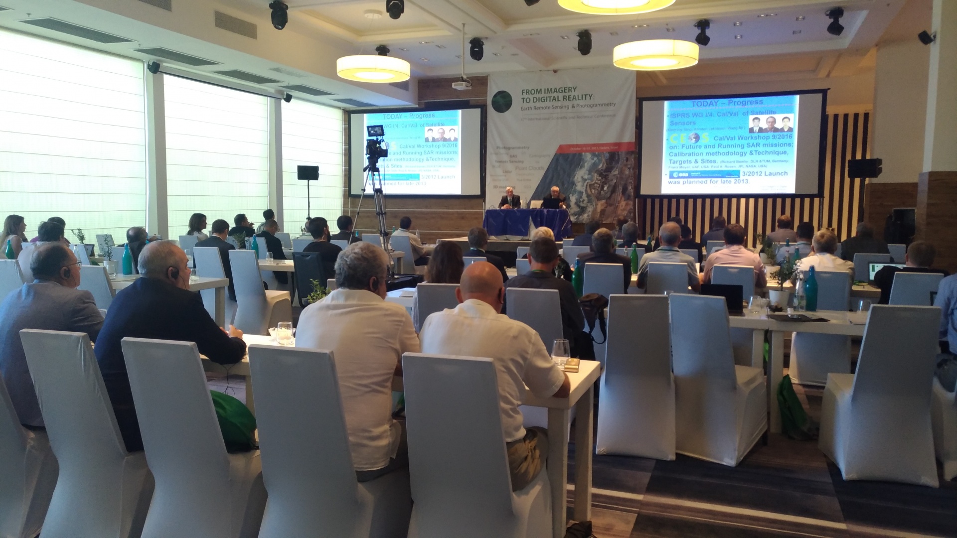
This year Israel was chosen as a venue of the conference. The importance of this state in the world scientific and technical achievements is undeniable; Israel is rightfully included in the Top-5 most innovative countries in the world in accordance with Bloomberg. The well-known Israel companies such as VisionMap, OFEK, Eternix, ImageSat and many others occupy deserved place in the world geomatics market.
This year, the name of our annual conference was changed to “FROM IMAGERY TO DIGITAL REALITY: ERS & Photogrammetry” in order to reflect current trends in visualization and use of spatial information.
Digital reality is measured spatial information that is used in almost all directions of society's technological developments, be it land management, navigation, autonomous transport systems, smart cities, robotic technologies, and much more. Digital reality provides cartographic basis for the Internet of Things, and it allows building space-time models for sustainable development of society.
This new conference name significantly widens the theme of the conference. We are sure that it will contribute to the growth of interest in Earth remote sensing and photogrammetry technologies, attracting new participants to the conference.
The following companies supported this year’s conference as sponsors:
· Platinum Sponsor: ROSCOSMOS (Russia)
· Gold Sponsor: DigitalGlobe (USA)
· Silver Sponsors: Phase One Industrial (Israel), SI Imaging Services (Korea)
![]()
![]()
![]()
![]()
Scientific support was provided by:
· ISPRS - International Society for Photogrammetry and Remote Sensing
· Russian GIS-Association
· The Russian Society of Geodesy, Cartography and Land Management
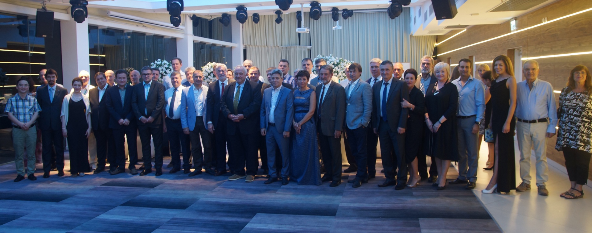
This year’s conference joined together seventy specialists, representing forty organizations from seven countries. Scientific programs for the seventeenth conference included thirty reports made by participants from Greece, Israel, Cyprus, Korea, Russia, and the United States.
Day One
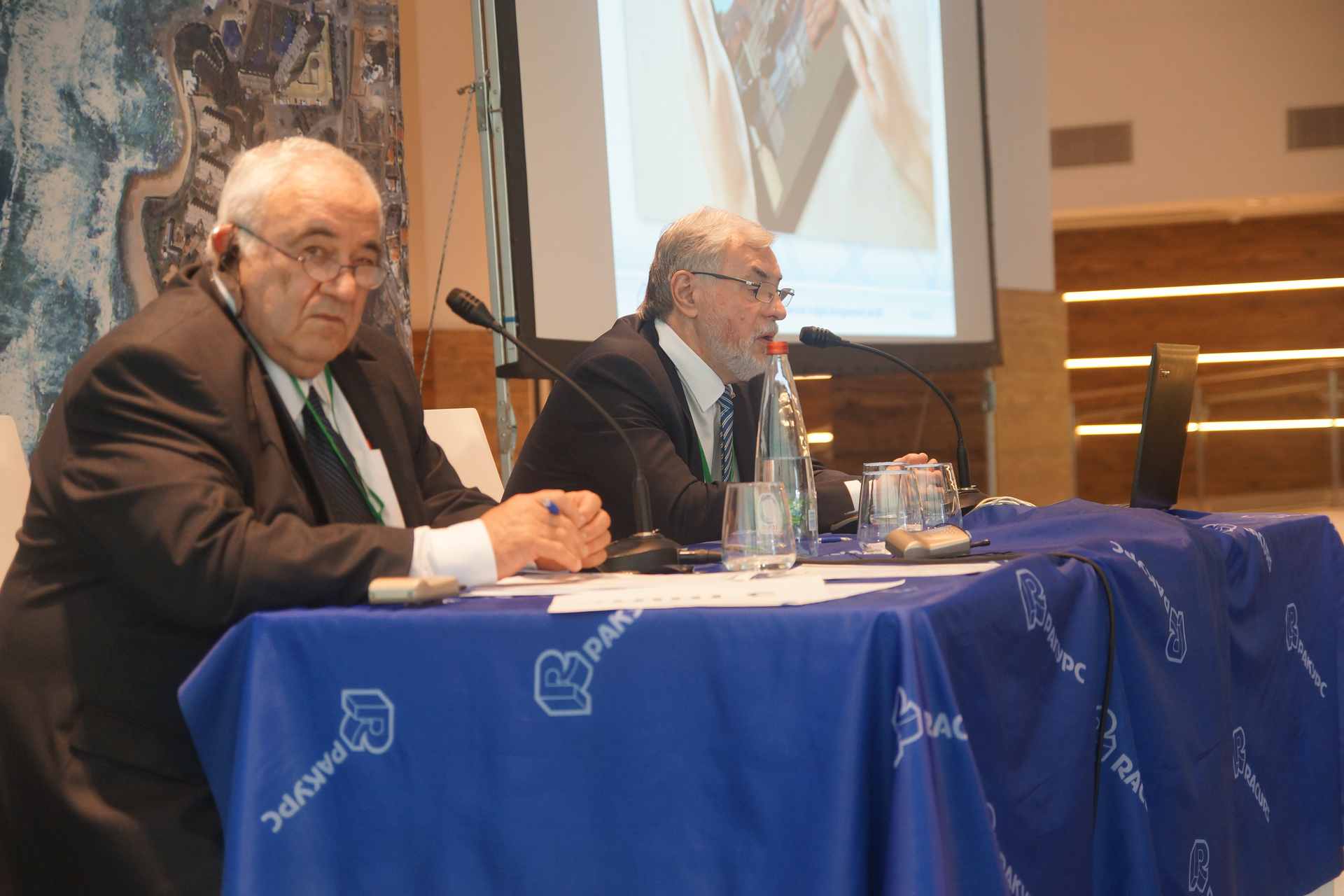
During his opening speech, Dr. Victor N. Adrov, Racurs’ managing director, emphasized that this year the conference was held under the new name: “From Imagery to Digital Reality: ERS & Photogrammetry.” Now we can note that the choice of the new name was justified—most of the reports and the results of discussions proved once again that current trends in the presentation and use of spatial information have experienced transformation in recent years. According to participants, the new name of the conference reflects the current vector of geotechnology development.
Mr. Ronen Regev, director general, Survey of Israel (Israel), and Professor Amatzia Peled, president of ILSPRS, University of Haifa (Israel), delivered welcome speeches. Valery Zaichko, division head, State Space Corporation ROSCOSMOS (Russia), welcomed participants from the Russian delegation.
The scientific part of the first day consisted of three sessions: Innovations in Photogrammetry and Mapping, New Trends and Technologies in Photogrammetry, and Photogrammetry—from Algorithms to Products.
The session “Innovations in Photogrammetry and Mapping” was based on providing solutions for the current state tasks. Yaron Felus, chief scientist, Survey of Israel (Israel), and Sergey Serebryakov, deputy managing director for Innovative Development, JS “Roscartography” (Russia), reported on new innovative technologies and methods being used in Israel and Russia. Professor Amatzia Peled presented methodology of GIS-driven updating of spatial Data Bases.
In the next session, “New Trends and Technologies in Photogrammetry,” the reports lined up in a logical sequence. Mr. Alexander Chekurin, sales & marketing director, Racurs (Russia), presented his vision of modern trends in the development of photogrammetric technologies. Mr. Victor Adrov, Racurs’ managing director, continued the theme of photogrammetry development with an overview of photogrammetric technologies of 3D spatial base of digital reality development. Professor Alexander Chibunichev, Photogrammetry Department chair, Moscow State University of Geodesy and Cartography (Russia), supplemented Mr. Adrov’s presentation with a report about a new method of dense point cloud generation by semi-global, multi-image matching in object space. Examples of new approaches for acquiring and distributing 3D models were presented by Mr. Avi Aflalo, CEO, Simplex Mapping Solutions Ltd (Israel).
The first day of the conference ended with reports from session “Photogrammetry — from Algorithms to Products.” This session began with reports characterizing in detail the new series of PhaseOne Industrial aerial cameras, intended to carry out professional aerial surveys. Participants could ask questions of representatives from PhaseOne Industrial’s CEO, Mr. Dov Kalinski, and scientific director, Dr. Yuri Raizman.
Mr. Alexander Voitenko (Kadastrsyomka, Russia), Mr. Yannis Yanniris (Greece), and Mr. Vladimir Arkhipov (Lesproekt, Russia) reported on the success of practical uses of photogrammetry. Their reports were dedicated to the themes of the monitoring of petroleum pipelines, archeological surveys, and forest interpretation. Use of PHOTOMOD photogrammetric technologies joined these reports; that is why presentation of the new possibilities of PHOTOMOD version 6.3, made by Mr. Dmitry Kochergin, head of Racurs Technical Support Department, attracted great interest among participants.
Day Two
The session “Remote Sensing Satellites — from Image to Analytics” was devoted to the practical aspects of remote-sensing data use. This year, Russia has joined the leaders of Israel, South Korea, and the United States in remote sensing. Valery Zaichko presented innovative projects for the development of a Russian remote-sensing system realized by ROSCOSMOS. He emphasized that the current Russian ERS satellite constellation already allows building of SaaS models for end users. Mr. Oleg Gomozov (RIPI, Russia) continued with the role of global satellite data in the Digital Economy. Mr. Alexander Imas (ImageSat, Israel) presented the evolution of Remote Sensing from data to solutions, and Mr. Wookhyun Choi finished the section with success story of Korean multi-purpose satellites.
During the session “Russian Remote Sensing Satellites,” the current constellation of Russian remote-sensing satellites was widely presented. Specialists of JSC Space Rocket Centre “Progress” demonstrated possibilities of “Resurs-P” system; VNIIEM Corporation presented new satellite “Kanopus-V-IK”; a representative of JSC “RSS”, Research Center for Earth Operative Monitoring, shared the experience of photogrammetric processing of Kanopus-V satellite data; and the results of geometrical accuracy research of satellite “AIST-2D” were presented by specialists of Innoter company.
As Mr. Valery Zaichko noted in summing up the session, all data received by Russian remote-sensing satellites are available for delivery to foreign customers without restrictions. ROSCOSMOS formed a dealers’ network and removed legal barriers for promotion of Russian imageries abroad. The State Space Corporation understands that entering the world market is not a fast and easy process, and it is ready for active cooperation with all segments of the market to strength Russian data positions at the world arena. ROSCOSMOS became Platinum Sponsor of the conference for the first time this year and is interested in the future support of the conference.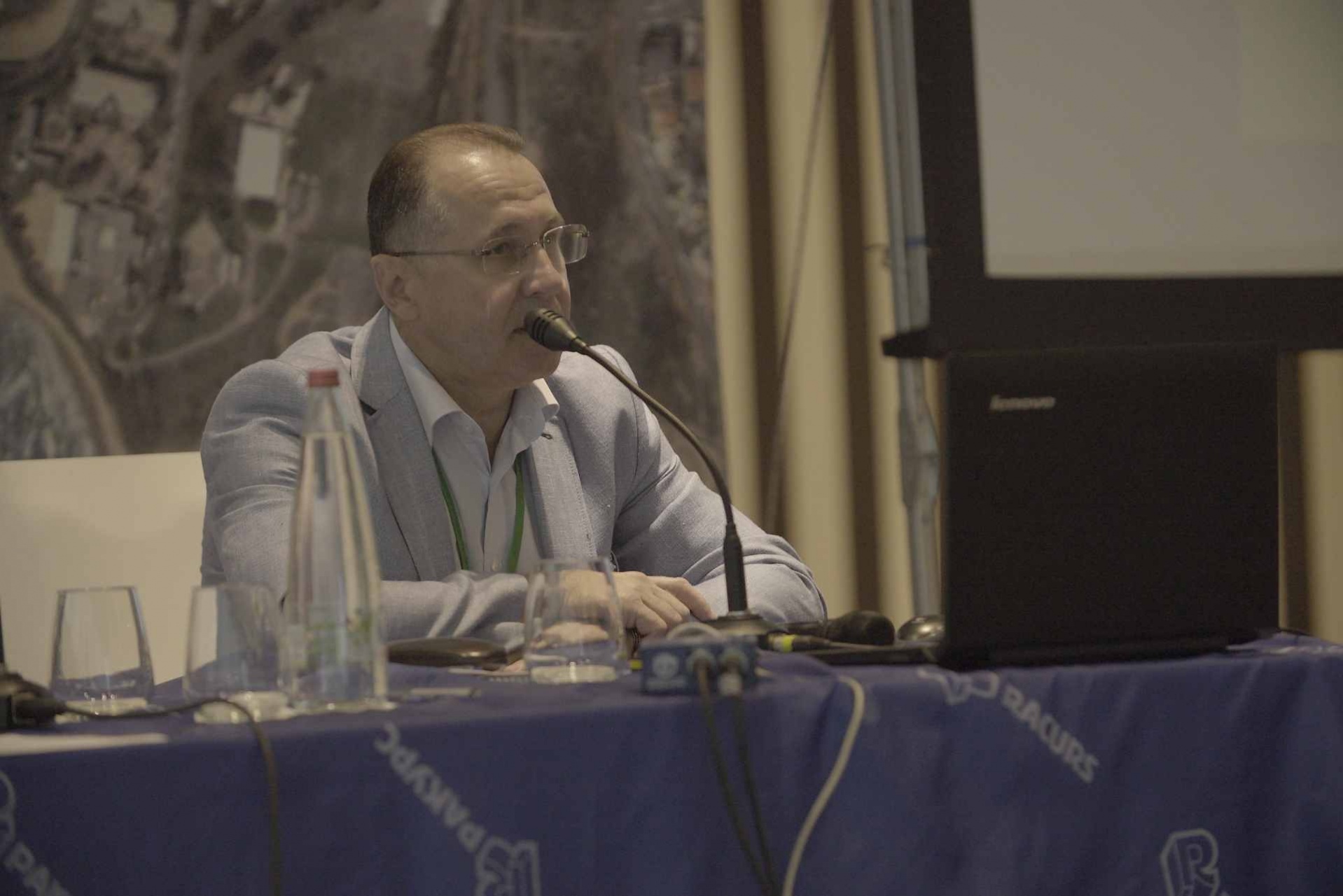
For the first time, the topics of cloud technologies in photogrammetry and remote sensing were raised at the sixteenth conference last year, where Racurs’ specialists presented features of cloud services for data processing and storing. Just one year was needed, and Dr. Andrey Sechin, Racurs’ scientific director, told about the practical realization of PHOTOMOD in cloud services. Many companies are interested in providing services of geoinformation technologies used in cloud computing. Among these companies is Israeli startup GeoCloud, which presented computing capabilities of its service. In Russia, cloud services are developed in Tatarstan. Mr. Vladimir Gershenzon, deputy head of GIS Center, Innopolis University (Russia), talked about the perspectives of this direction. Cloud services are a small part of the new reality of the work with remote-sensing data. Mr. Alberto Lopez, business development director, DigitalGlobe (USA), presented the new paradigm of the geospatial industry that is behind GBDX cloud service.
Questions concerning the future of geoinformation technology were discussed during the session “New Technologies and Software Solutions for RSD Processing.” Mr. Mikhail Bolsunovsky, first deputy director general, Sovzond (Russia), reported about the possible future of our field; Mr. Vyacheslav Lobzenev, CEO, Center of Innovative Technologies (Russia), analyzed changes in the requests for the software created, which are made by the new category of users, digital generation Z; Mr. Valerii Barinberg, managing director, SCANEX Group (Russia), presented a service model of geoinformatics development; and Mr. Stanislav Kaniukov, head of RSD solutions division, PRIME GROUP (Russia), reported about the experience of solving bathymetry tasks on the base of modern remote-sensing data.
Day Three
Large amounts of information, not always equivocal, require understanding and discussion among professionals. Round tables this year, having already become traditional, were dedicated to cloud technologies and tendentious photogrammetric technology development.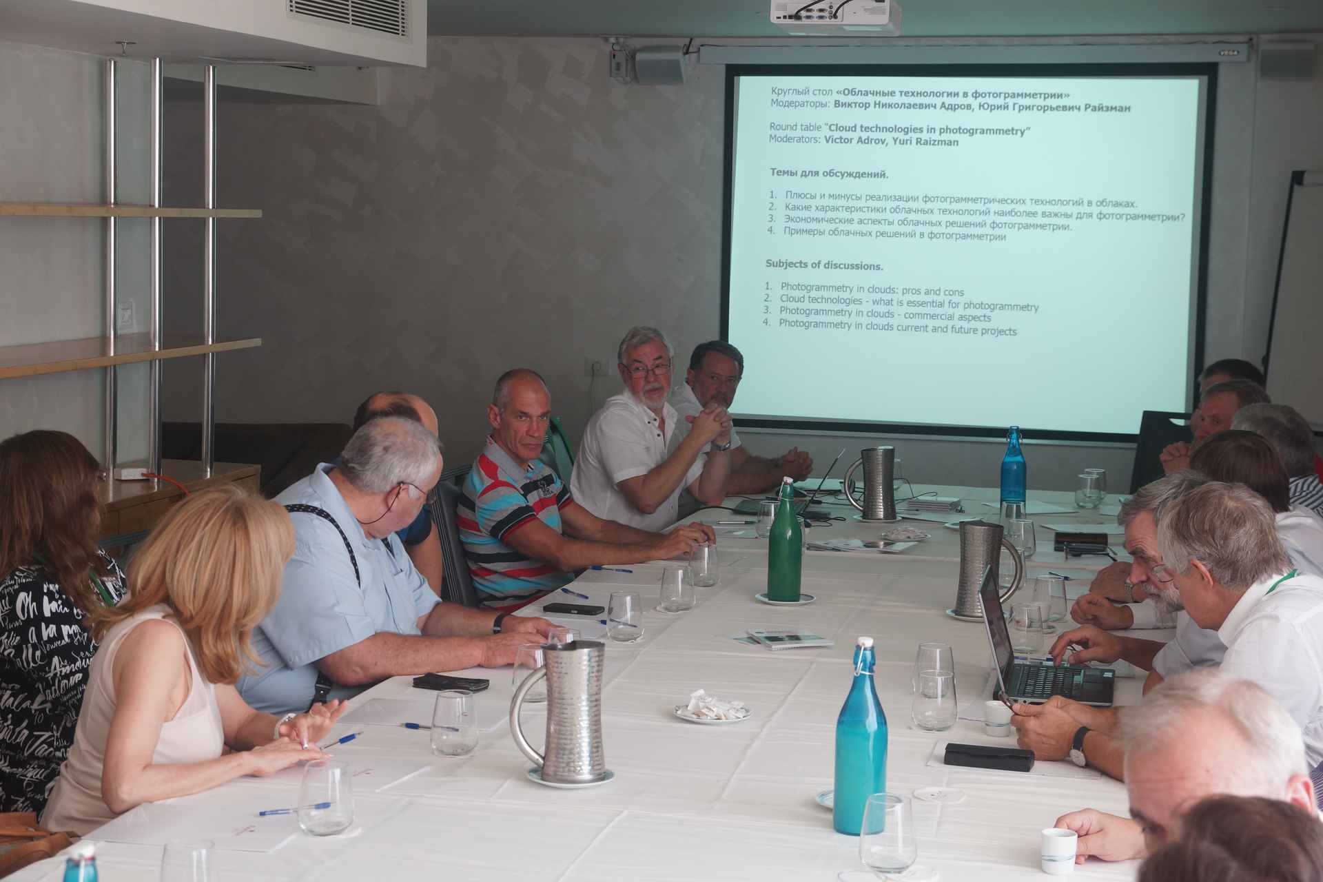
The round table “Cloud Technologies in Photogrammetry and ERS” reflected the point of view of many participants that the use of cloud technologies doesn’t cause significant technical problems, but that, commercially, new solutions raise questions both for suppliers and for users. Nevertheless, the overall mood—both of representatives of private business and governmental organizations—was quite positive, and the fact that cloud technologies will take a significant place in the development cycles of processing and providing geospatial information could already be stated.
Specifying perspectives on new sensors’ use, platforms, and algorithms of data processing for geospatial-information receiving became the result of discussions of trends in photogrammetry development. First of all, it is the sensors’ complexation—camera + lidar + thermal camera—and use of surveys in different spectral ranges; second, the orientation of photogrammetry and geoinformation systems to robotechnics and autonomic systems, in general; and third, the rising role of social networks and crowdsourcing projects as sources of initial geospatial data.
Intellectual 3D Games and Tasting
In addition to scientific and business programs, interesting, unofficial events were offered to participants—an already-established tradition. Well-regarded entertainment and cognitive “lessons” were carried out at this time as intellectual games based on 3D models. Jerusalem 3D models, created in PHOTOMOD, were obtained on the basis of aero- and space-survey data processing, provided by companies/participants: VisionMap (Israel), ROSCOSMOS (Russia), and SI Imaging Services (Korea).
During the games, participants became acquainted with the most famous sights of the historic part of Jerusalem and also appreciated the taste of Israeli wine, considered to be one of the best in the world. The gala dinner became the bright finale of the conference. Fortune favored Mr. Yannis Yannirris, photogrammetric engineer from Greece, and company Lesproekt (Russia), at the traditional PHOTOMOD lottery.
We thank all our colleagues, friends, and partners for their participation, and we look forward to seeing you again!
Presentations | Papers | Video | Photo