 Conference review
The annual conference “From Imagery to Map: Digital Photogrammetric Technologies” has been held 15 times, each year in a different country. This year, participants of the conference were again surprised, as we chose Mexico as the venue, which shows the great interest in this region and its prospects in the field of development of geoinformation technologies.
The conference was sponsored by the following companies:
• Gold Sponsors: SCANEX (Russia) and VisionMap (Israel)
• Silver Sponsors: Airbus Defence and Space, Geo-Intelligence (France), and DigitalGlobe (USA)
Scientific support was provided by:
• ISPRS - International Society for Photogrammetry and Remote Sensing
• Russian Federal Space Agency
• Russian GIS-Association
Conference partners:
• El Comité Nacional para la Colaboración Económica con los países Latinoamericanos (CN CEPLA)
• Moscow State University of Geodesy and Cartography
• Galantis Inc. (USA)
Participants of the conference and scientific program
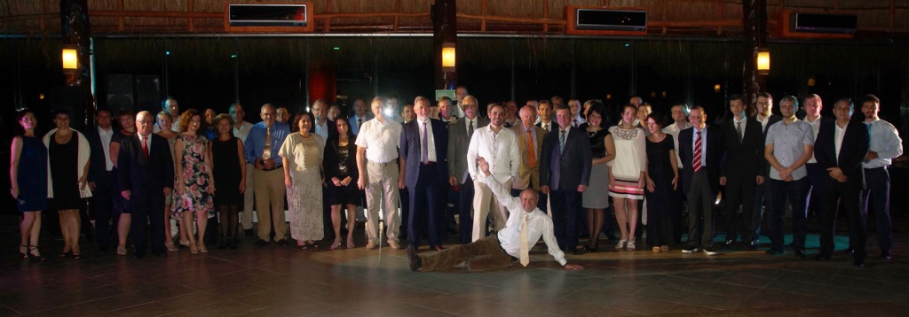
This year, the conference brought together 70 specialists, representing more than 36 companies from 14 countries. The scientific program of the conference included 32 reports, which were presented by participants from Argentina, Cuba, France, Germany, Israel, Mexico, Poland, Russia, The Netherlands, and the United States. A team of professional interpreters provided simultaneous translation of speeches into Russian, English, and Spanish.
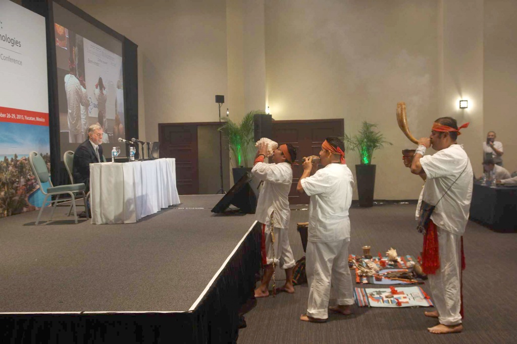
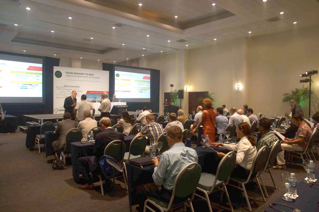
Opening of the conference
The conference began with the rite of “harmonization,” which was held by Mayan shamans of old. Participants of the event experienced the harmony for three days of fruitful work.
Victor Adrov, Racurs managing director, opened the conference. Mr. Adrov pointed out that countries of Latin America are actively developing. Possessing huge territories, they face numerous problems in the field of territory mapping, monitoring of tropical forests and agricultural lands, researching of archeological monuments that are difficult to access, and solving cadastral tasks. All these issues require the widespread use of remote sensing data and cost-effective technologies of their processing.
 Participants of the conference were also welcomed by Professor Siro Diaz from Universidad Autónoma de Sinaloa (Mexico) and Igor Koshechkin, director of KADASTRSYOMKA (Russia). Professor Diaz has been successfully working with photogrammetric technologies for Racurs Company for 15 years, longer than any other PHOTOMOD user in Latin America. Igor Koshechkin is the head of the company that became Racurs’ partner in organizing the first scientific conference of PHOTOMOD users, held in 2001.
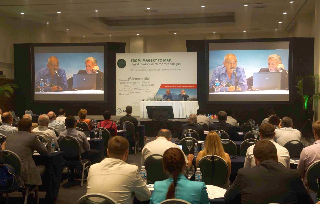
Day one: General photogrammetric questions and solutions
The practical part of the conference began by considering the theme of general cartographic questions. Professor Gottfried Konecny from Leibniz University Hannover (Germany) presented research of the cartography state of the world, made by UNGGIM-ISPRS. Albert Demidenko from KB Panorama (Russia) carried out detailed analyses of modern electronic cartography peculiarities.
The second set of reports was dedicated to aerial photography and cartography in Latin America. This section opened with a report presented by Wolfgang Kost, general director of GeoAir Company (Mexico). GeoAir carries out surveys in all countries of Central America. Mr. Kost told about specifics of participation of private companies in aerial projects. The fact is that government agencies responsible for cartography in most of the countries of Central America have neither their own aircrafts and aerial equipment nor photogrammetric stations for aerial data processing. Therefore, private companies have rather difficult tasks of governmental levels, but the aerial market of these countries is open. 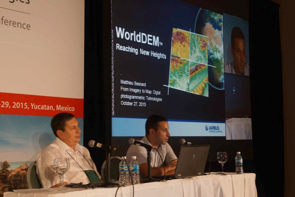
Gabriela Alvarez Parma (Universidad Nacional de San Juan, Argentina) and Professor Siro Diaz (Universidad Autónoma de Sinaloa, Mexico) gave in their reports examples of PHOTOMOD and PHOTOMOD Lite use for teaching students the basics of aerial projects. Sandra Gonzalez Garcia (head of photogrammetric group, GEOCUBA, Cuba) reported on PHOTOMOD use in development work in Cuba. PHOTOMOD is the main photogrammetric system installed in organizations of GEOCUBA group.
After lunch, reports about aerial survey and aerial equipment were heard. Yuri Raizman (VisionMap, Israel) gave a report on the capabilities of an oblique survey of an A3 Edge camera for creating digital surface models. Matthias Lemmens (Delft Technical University, The Netherlands), Ireneusz Ewiak (Military University of Technology, Poland), and Alexander Voitenko (KADASTRSYOMKA, Russia) also presented their reports during this section.
The first day of the conference ended with a set of reports about the practice of PHOTOMOD use. In this set, specialists from Racurs Company gave reports: Victor Adrov presented a report about types of DTMs and 3D models, Dmitry Kochergin told about current developments of the company and additional free-of-charge programs, and Andrey Sechin gave a report titled “Photogrammetry and Parallel Computing—Software and Hardware.”
A presentation given by a representative of Lesproekt Company, Dmitry Chernikhovsky, was devoted to the development, testing, and introduction of the module “PHOTOMOD Stereo Measure,” which is for forest inventory using the interpretation method. This module is being developed in close cooperation with Racurs and Lesproect. Diana Khaydukova told about the introduction of PHOTOMOD in the production process of Uralgeoinform.
Day two: Remote methods of spatial information obtaining
Traditionally, the start of the second day of the conference has been dedicated to Earth survey from space. Before the reports were made, a teleconference with Research Centre for Earth Operative Monitoring (JSC “Russian Space Systems”) took place. During this teleconference Valery Zaichko (head of department, Federal Space Agency) presented a Russian orbital system of remote sensing spacecraft.
In the set of reports about Russian space systems of remote sensing, we would like to point out presentations given by Viacheslav Ermakov (VNIIEM Corporation JSC, Russia) on the creation of perspective microsatellites of “Canopus-B” series and Andrey Sechin (Racurs, Russia) on achieving the best photogrammetric accuracy for Canopus-B and Resurs-P imagery.
Of the reports about foreign space systems, the most interesting reports were given by Ilya Yudin (DigitalGlobe, USA) on the new paradigms of the company and by Matthieu Besnard (Airbus Defence and Space, Geo-Intelligence, France) on global models WorldDEM. A joint report titled “Constellation of Airbus SAR Satellites and PHOTOMOD Radar Software: Quality Assessment of Geometric and Radiometric Parameters of TerraSAR-X Imagery” was given by Matthieu Besnard and Alexander Chekurin (Racurs, Russia). Let us point out the report on real-time reception and distribution of remote sensing data on a national scale presented by Ilya Farutin (SCANEX holding, Russia) during the set of reports on examples of remote sensing data use and processing. A group of companies called SCANEX is known for its original technologies of small receiving stations. Issues of space imagery processing and services provided by the company were also considered in this report.
The second day of the conference finished with reports dedicated to UAV. Amir Valiev (AFM-Servers, Russia) spoke about commercial effectiveness of UAV usage in RSD tasks, and Alexey Smirnov (Racurs, Russia) gave the results of calibration and self-calibration influence of cameras for UAV. Paulina Delis (Military University of Technology) reported on cadastral map development based on data from UAV.
Day three: Master classes and roundtables
On the third day of the conference, master classes were held. The main functional capabilities of the PHOTOMOD system in the processing of aerospace projects were demonstrated. Furthermore, specific capabilities of the system in photogrammetric processing of imageries from UAV were examined. Also covered were questions concerned with accuracy of the output products in the processing scanner satellite imageries and use of the new algorithm of dense DTM creation.
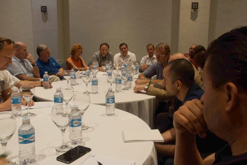
In the afternoon, roundtables were held. Discussions were very active because of themes useful for participants from different countries.
A roundtable titled “Satellite, Aerial and UAS Survey: Competitors or Partners” brought together suppliers and users of all kinds of remote sensing data. Participants noticed that presently, on the one hand is the resolution of the space systems approach to the results of aerial survey, in which productivity and efficiency constantly increase, and on the other hand, a survey with resolution on the area of some centimeters could be carried out with UAV that makes it accessible to many small companies.
This brings up the point of choosing the optimal remote sensing method. Representatives of the companies involved in production gave examples of when it is more convenient and profitable for them to use certain data. Participants of this discussion came to a conclusion that different technologies supplement one another and competition between them works in users’ favor.
A very interesting discussion took place at a roundtable titled “World Cartography Challenges of XXI Century.” Participants had an opportunity to exchange information about the characteristics of cartographic organizations in their countries; numerous important questions were discussed. The most useful were:
• Which tasks of cartography must be solved by state companies and agencies and which ones by private companies through the open market?
• How to ensure the quality of the work.
• How the requirements of the final product change with development of new technologies.
• What is the role of “public” maps of the OpenStreetMap project in the world cartography field development?
Without a doubt, similar interesting discussions will be continued at the next conferences.
The conclusion of the conference
As we can see from the results of the conference, Russian specialists face the same tasks as their colleagues from countries of Latin America. The joint discussion of the ways this problem is being solved was very useful for all participants.
The finale of this conference was a Mexican-style gala dinner.
We thank all our colleagues, friends, and partners for participating in the conference, and we look forward to seeing you again!
Presentations, proceeding
Video
Photo album